
Read the inland reference with its location clearly in view
Pilanesberg weather planning should allow for early open-vehicle activities as well as the warmer part of a day. Regional inland guidance describes summer-focused rainfall and drier winter conditions with cool nights. That is a seasonal orientation, not a promise of rain-free dates or a launch forecast for a balloon flight.
The table below is a distant inland regional comparison from Mafikeng WO, station 68242, outside the Pilanesberg National Park. Its WMO normal period is 1991 to 2020 and the station elevation is 1,281 m. It is not a park station, not Rustenburg and not an observation of your visit. The season guide helps link the time of year with the experience you want.
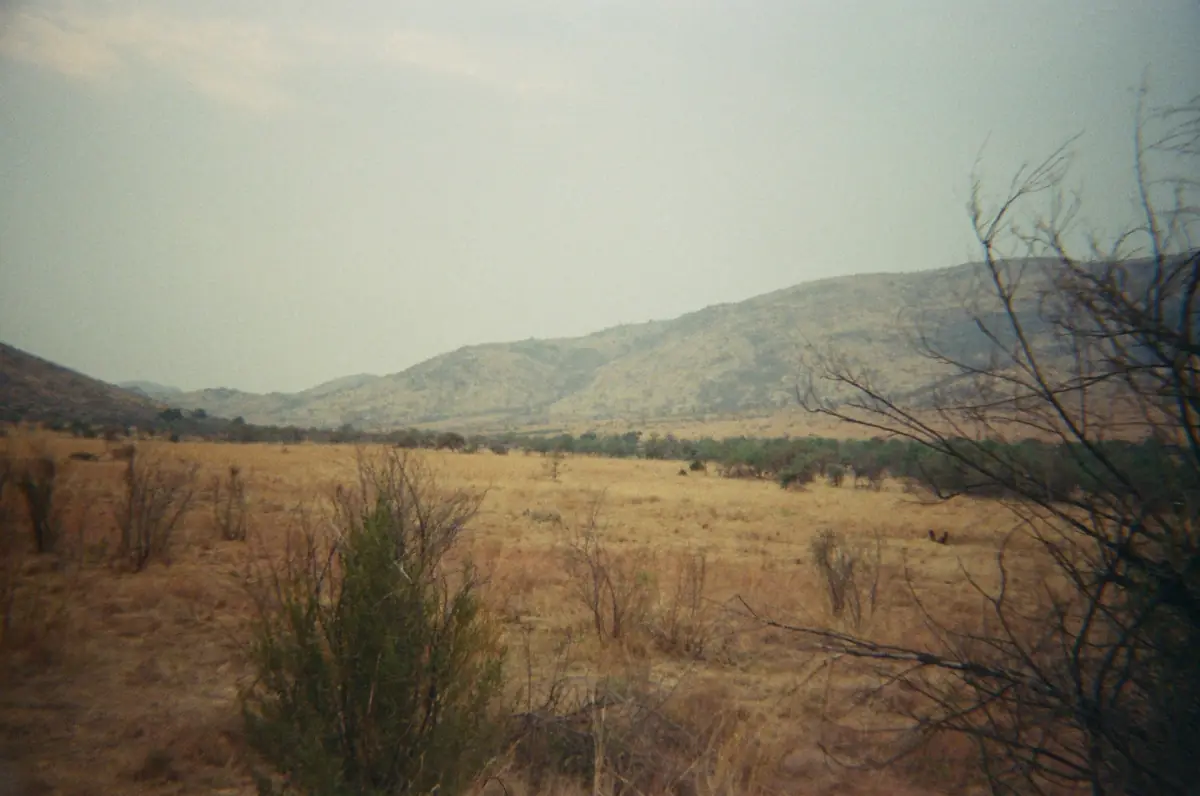
A private open-vehicle outing
Prepare for outdoor conditions on this private sunrise drive.
Hand-picked tours, booked through GetYourGuide. Prices are indicative starting prices in US dollars (as of October 2026). Tap a tour for live availability and the current price in your currency.
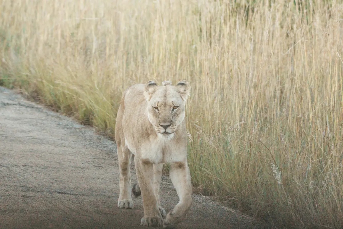
Compare Pilanesberg safaris
Compare local drives and longer outings, checking the departure, conservation fee and actual time in the park.
Monthly temperatures and rainfall at Mafikeng
The values come from the official WMO single-station normal sheet preserved in the NOAA archive. Highs and lows are the means of daily maximum and minimum temperatures; rainfall is the mean monthly total. Every row has the same station and period. No missing park value has been filled with a regional value and then renamed as a Pilanesberg measurement.
| Month | Mean daily high °C | Mean daily low °C | Monthly rain mm |
|---|---|---|---|
| January | 30.6 | 17.8 | 103.4 |
| February | 30.1 | 17.4 | 80.5 |
| March | 28.8 | 15.6 | 62.1 |
| April | 26 | 12 | 44.8 |
| May | 23.6 | 7.7 | 19 |
| June | 20.9 | 4.5 | 5.4 |
| July | 20.7 | 4.1 | 1.5 |
| August | 23.7 | 6.8 | 3.2 |
| September | 27.8 | 10.9 | 8.6 |
| October | 29.8 | 14.5 | 34.7 |
| November | 30.3 | 15.8 | 62.9 |
| December | 30.6 | 17.2 | 92.8 |
The Mafikeng reference has a January average high of 30.6 °C and a July average low of 4.1 °C. It also shows a large difference between summer and winter rainfall. These figures describe that station's inland pattern. Different park locations, elevation and the actual weather on your travel day can differ, so the table is not a local forecast.
Clothing for an early open vehicle
The activity operator recommends warm clothing for early open transfers, with a hat, scarf and gloves additionally recommended in winter. Think about the beginning and end of the outing rather than packing only for an expected afternoon temperature. Layers let you adapt your own clothing to the programme without requiring a claimed exact park minimum for every month.
Compare the actual vehicle and departure on the safari page. A local drive and a day trip from Johannesburg have different outside journeys and overall lengths. Check which equipment the chosen option supplies and bring what your party needs. A forecast near the date is more relevant to the day's clothing decision than treating a thirty-year average as a fixed temperature.
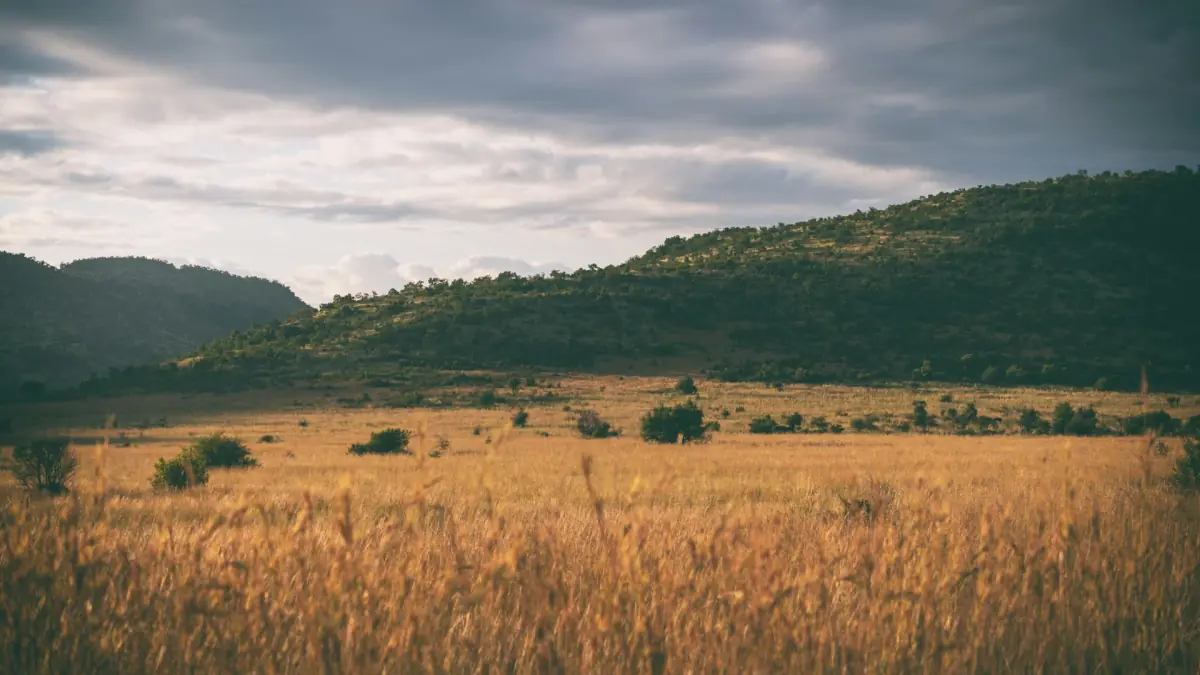
Weather decisions and access decisions
A balloon flight depends on weather at the time of operation. A drier seasonal reference does not establish a guaranteed launch, fixed route or landing place. The balloon guide explains the night-before timing confirmation and the separate operator conditions. Keep that decision distinct from the regional climate table.
For an independent drive, ask about the roads you plan to use and follow the current route instructions. The self-drive information helps frame that question without assuming every road has the same condition. Gate times remain a separate constraint, covered on the opening-hours page. A clear day does not extend opening, and a monthly rainfall average does not establish road or facility availability. Use the table for broad comparison, a forecast for the day and current park instructions for access.
Questions before your visit
Are these climate figures measured in Pilanesberg?
No. They are explicitly from Mafikeng WO 68242 outside the park, used as a distant inland regional comparison. The station, elevation and normal period remain attached to the table. They are not a renamed park or Rustenburg series.
What do the high and low columns mean?
They are average daily maximum and minimum temperatures within each month over the 1991 to 2020 normal period at Mafikeng. They are not absolute records, present-day readings or a promise of the temperature at your safari departure.
Does winter mean no rain during my visit?
The reference shows much lower winter rainfall, but a monthly normal does not guarantee a dry individual day. Check the forecast close to travel and the current route instructions. Keep the distinction between the regional pattern and your actual visit.
Can this table confirm a balloon departure?
No. A launch is a day-specific operator and weather decision. Follow the timing and operating instructions for the booking. A long-term climate pattern does not establish a guaranteed flight, return time, route or wildlife sighting.